Above Ground Storage Tanks
Identified Threats and Aboveground Storage Tanks (ASTs)
Spurred by the chemical leak on the Elk River in Charleston, January 2014, the West Virginia Legislature passed Senate Bill 373, or SB 373 (also known as The Spill Bill).
This bill requires water utility companies in West Virginia to conduct source water protection planning. However, even before SB 373, MUB hired Morgantown-based consultants Downstream Strategies to advance source water protection planning beyond the scope of previous efforts.
An integral part of this planning involved the identification of facilities that may present a risk to drinking water quality, should harmful substances be spilled. On this page you will find a couple of things related to this planning.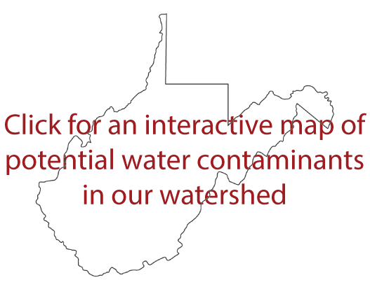
One is access to a map of all identified threats across our watershed area with the exception of Aboveground Storage Tanks (ASTs). That map is available by clicking here. Another is a count of registered ASTs, which is provided below by area. Simply click on an area name and the information will open in a PDF file.
Please note: We do seek input from the public on the accuracy and completeness of this inventory. If you note a discrepancy in the information please email us at ast@mub.org. You can also use this email address to contact us with questions and comments.
ASTs by Area
- Zone of Critical Concern (ZCC): This is the area from which pollutants that reach a river or stream will travel to MUB’s intake in five hours or less. This area covers approximately 12,500 acres
- Zone of Peripheral Concern (ZPC): This is the area from which pollutants that reach a river or stream will travel to MUB’s intake in 5-10 hours. This area covers more than 13,400 acres.
- Complete Watershed Protection Area: MUB's entire watershed encompasses 1.6 million acres spread across 12 counties.